National Geographic Ancient Cities
Few media organizations have done more to bring buried history back to life than National Geographic. Their coverage of ancient cities, through documentaries, articles, and TV specials, has introduced millions of people to civilizations that mainstream education barely touches. If you've ever searched for national geographic ancient cities content, you already know the pull: real archaeology, real ruins, real stories that rewrite what we thought we knew.
That pull is exactly what drives us at Skriuwer. As an independent publisher specializing in untold history and ancient civilizations, we spend our days with the kind of material National Geographic brings to screen, except we put it in your hands as books. The overlap isn't accidental. Readers who watch a documentary about a lost Roman outpost or a submerged Egyptian port tend to want more depth than a 45-minute episode can offer.
This list breaks down five National Geographic ancient cities stories worth your time right now. Each one covers a different civilization and era, from familiar empires to cities most people have never heard of. Consider it a starting point, and if any of these spark a deeper itch, our catalog has books that pick up where the credits roll.
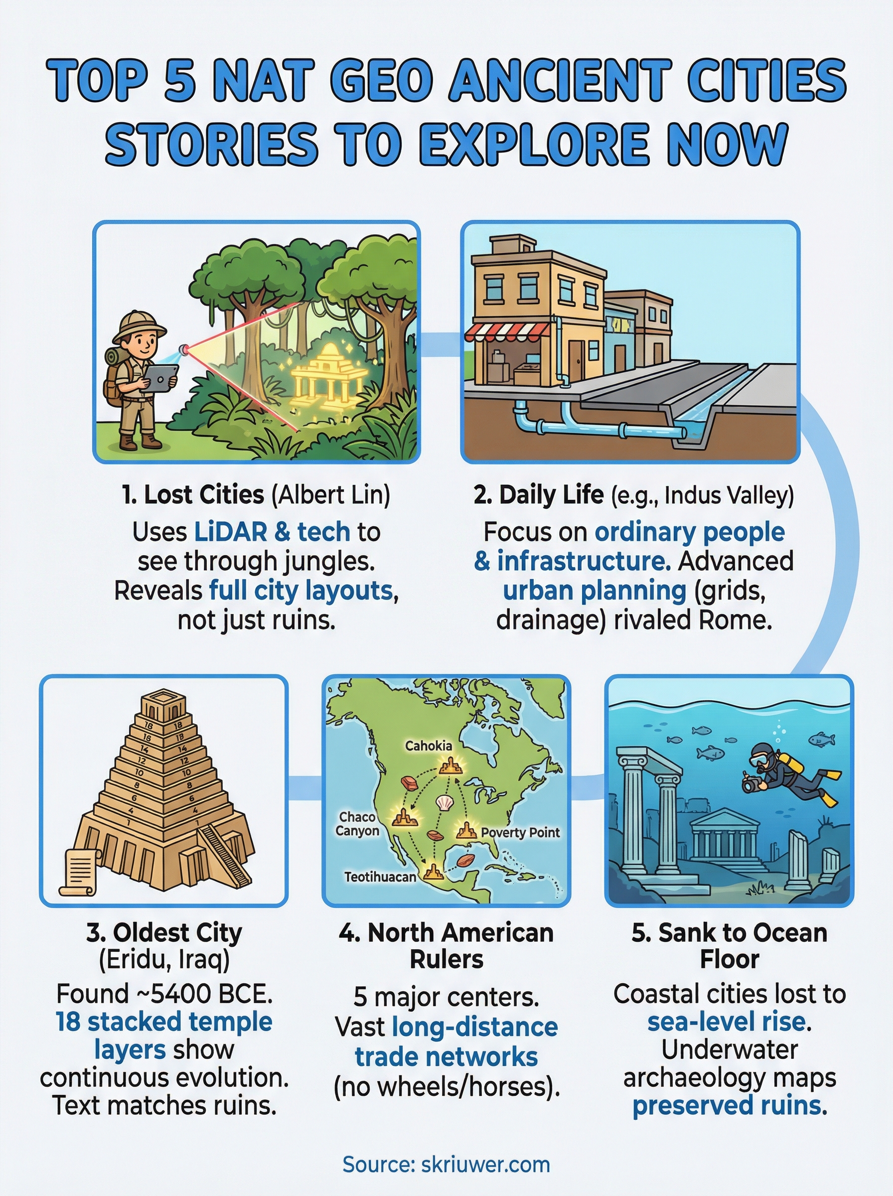
1. Lost Cities with Albert Lin
Lost Cities with Albert Lin is a National Geographic documentary series that places an explorer with a background in engineering and technology at the center of every episode. Lin travels to locations across the globe, digging into ruins that most conventional documentaries skip over entirely. This is some of the most accessible national geographic ancient cities content available, built around active field investigation rather than narration delivered from a studio chair.
What this series explores
Each episode focuses on a different lost civilization, from the hidden kingdom of the Maya to the forgotten outposts of the Vikings. Lin doesn't just describe what archaeologists found decades ago. He follows active research teams working in real time, visiting sites that are still being excavated and interpreted by specialists on the ground. The series spans multiple continents and time periods, covering cultures that shaped the ancient world in ways that rarely make it into a standard history class or popular history book.
The show treats these lost cities not as footnotes but as full civilizations with political complexity, trade networks, and engineering achievements worth studying seriously.
What makes the archaeology feel modern
Lin's background in engineering and data science changes how the show approaches excavation. Rather than showing you a dig with brushes and trowels alone, the series uses LiDAR technology and satellite imaging to reveal city structures buried under dense jungle canopy or centuries of accumulated soil. You see the full layout of these cities, not just the fragments that happen to sit on the surface. That perspective shift makes ancient ruins feel less like scattered rubble and more like functional places where real people made consequential decisions every day.
Best way to watch it
The series streams on Disney+, which hosts the bulk of National Geographic's documentary library in one place. If you want to get the most from each episode, keep a world map open nearby since Lin moves between regions quickly and geographic context matters for understanding what made each city significant within its time. Each episode runs roughly 45 minutes, which means you can work through one lost civilization per sitting without losing the thread between locations.
2. Life in ancient cities
National Geographic's article "Life in Ancient Cities" shifts focus from ruins to daily routines, examining how ordinary people actually lived inside these ancient settlements. Rather than centering on kings and conquests, the piece explores what housing, sanitation, and food systems looked like at ground level. This is one of the more grounded pieces in the national geographic ancient cities catalog.
What this story covers in the Indus Valley
The article gives significant attention to the Indus Valley Civilization, particularly the city of Mohenjo-daro, which flourished around 2500 BCE. It covers how city planners laid out uniform street grids and multi-story buildings long before most other cultures developed comparable urban systems.
What you learn about daily life and infrastructure
You come away with a clear picture of how water management and drainage systems functioned across an entire city. The Indus Valley's infrastructure rivals anything ancient Rome built centuries later, which challenges the assumption that advanced urban planning was exclusive to more widely studied empires.
The evidence from Mohenjo-daro suggests that civic planning, not military conquest, was what held these cities together.
Best way to use it for study or lesson planning
If you teach ancient history or world cultures, this article works well as a primary reading alongside supplementary material. Pairing it with maps of the Indus Valley helps you connect the geographic context to the archaeological evidence the text describes, making the timeline easier to follow and retain.
3. How archaeologists found one of the oldest cities on earth
National Geographic's piece on Eridu takes you to southern Iraq, where archaeologists identified what many scholars consider the world's oldest city. The article traces excavations revealing a settlement dating to roughly 5400 BCE, placing Eridu well before most sites that dominate national geographic ancient cities coverage.
What happened at Eridu and why it matters
Eridu sits where the Persian Gulf shoreline once ran, giving its inhabitants access to fresh water and farmland. Ancient Sumerian texts name Eridu as the first city ever built, which makes the physical evidence here unusually significant for anyone studying early civilization.
That text-to-archaeology connection is rare. Most ancient cities leave you choosing between written records and physical ruins. Eridu gives you both in the same location.
The key discoveries that changed the story
Excavations at Eridu uncovered 18 stacked temple layers, each generation building directly over the previous structure. That layering shows archaeologists exactly how the city evolved over millennia without gaps in the record.
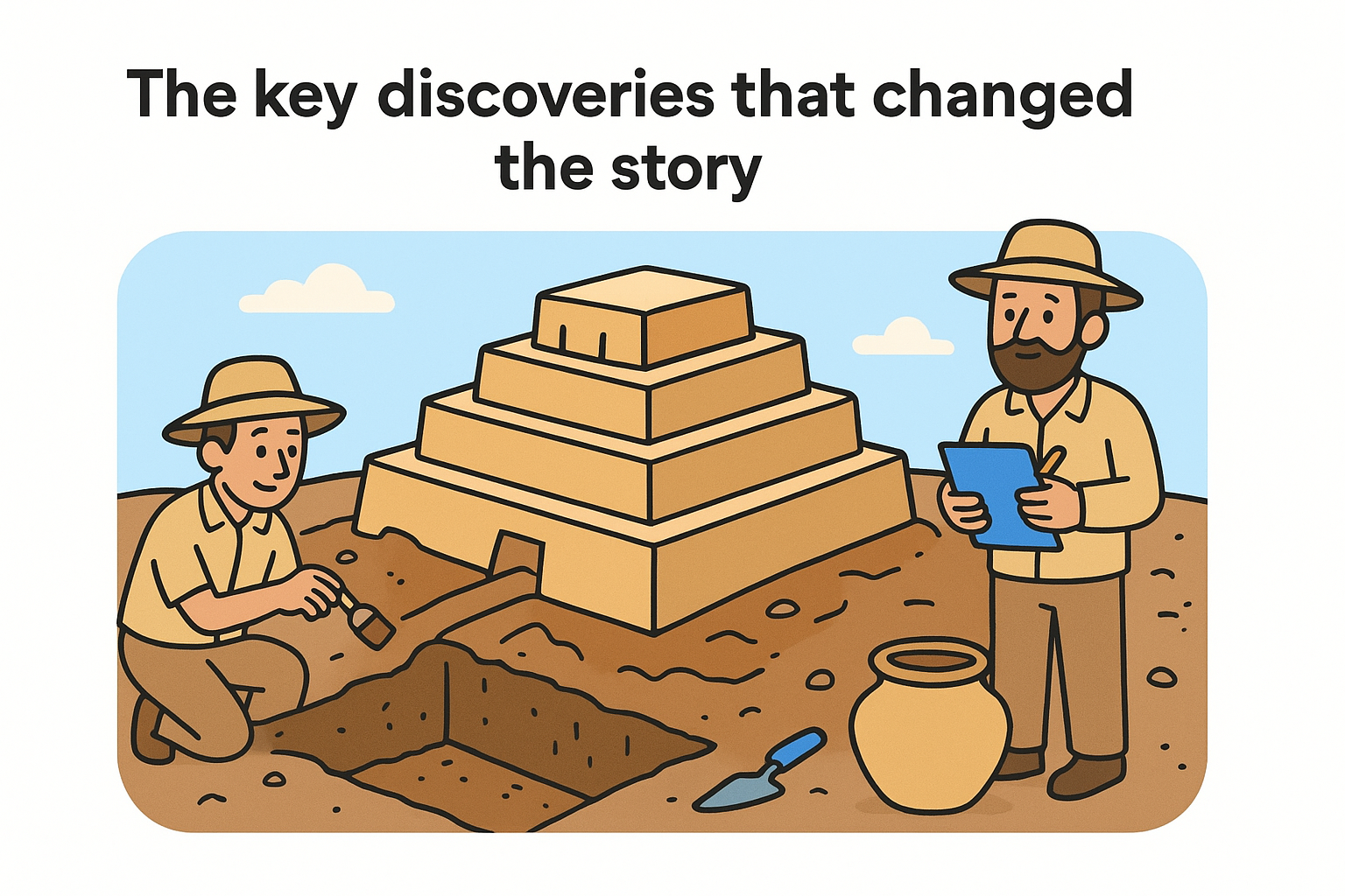
The temple sequence at Eridu is one of the clearest stratigraphic records in all of Near Eastern archaeology.
Best way to read it and follow the timeline
Reading this article alongside a map of ancient Mesopotamia helps you place Eridu within the broader Sumerian world. You can trace how neighboring cities like Ur and Uruk developed after Eridu, which turns this single piece into a foundation for understanding the entire region.
Bookmark it for repeated reference as you work through other Sumerian material. The timeline it establishes becomes a reliable anchor point.
4. These 5 ancient cities once ruled North America
National Geographic's piece on North American ancient cities corrects a widespread assumption that pre-colonial North America consisted mostly of small, scattered settlements. The article identifies five cities that held genuine regional authority, controlling land, people, and resources across vast distances long before European contact arrived on the continent.
Which cities the story highlights
The story covers Cahokia, Chaco Canyon, Teotihuacan, Tenochtitlan, and Poverty Point, each representing a distinct cultural tradition and geographic zone. Together, they span the continent from the Gulf Coast to the Valley of Mexico, showing how North American urbanism developed across multiple independent centers with no connection to each other.
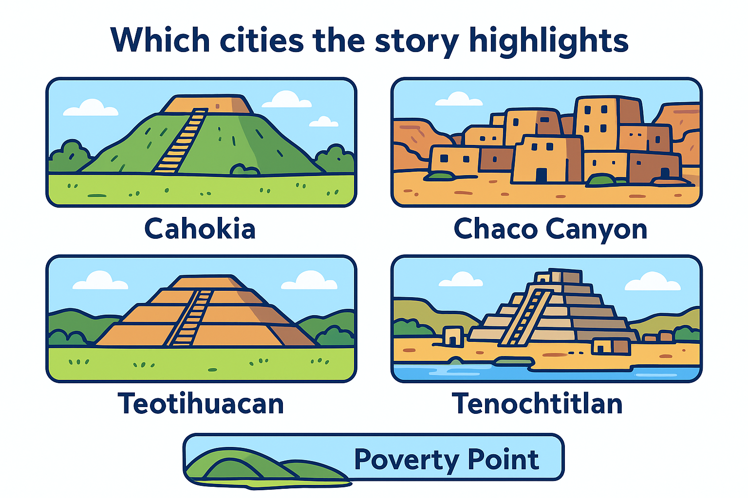
- Cahokia near present-day St. Louis, Illinois
- Chaco Canyon in the American Southwest
- Teotihuacan in central Mexico
- Tenochtitlan in the Valley of Mexico
- Poverty Point in Louisiana
What the story reveals about power and trade
This piece stands among the more underrepresented content in the broader national geographic ancient cities catalog. The article shows how these cities sustained long-distance trade networks that moved copper, obsidian, and shell goods across thousands of miles without wheeled transport or horses.
The scale of that exchange challenges every assumption that pre-Columbian North America lacked political and economic complexity.
Best way to explore the sites respectfully today
Several of these locations are open to visitors, including Cahokia Mounds State Historic Site and Chaco Culture National Historical Park. Before you go, review the visitor guidelines provided by the National Park Service, which specify which areas remain protected under active preservation law to prevent site damage.
5. These ancient cities sank to the ocean floor
National Geographic's coverage of submerged ancient cities covers settlements that didn't collapse from invasion or drought but from rising sea levels and geological shifts. This piece sits at the edge of what national geographic ancient cities content typically explores, moving the story from dry land into murky coastal waters where full excavation remains physically difficult.
Why coastal cities disappear underwater
Coastal settlements carried enormous economic advantages in the ancient world: access to trade routes, fish stocks, and fresh water. That same geography made them vulnerable to sea-level rise, storm surges, and tectonic activity. Cities built at the shoreline thousands of years ago now rest anywhere from a few meters to dozens of meters below the surface.
The sea didn't erase these cities; it preserved them under conditions that slowed decay significantly compared to exposed ruins on land.
What underwater archaeology can prove and what it cannot
Underwater excavation can confirm the physical presence of walls, streets, and artifacts, but connecting those structures to specific historical events or populations requires additional evidence from written records or carbon dating. The technology exists to map submerged sites in detail, but interpretation still depends heavily on cross-referencing multiple sources.
Best way to understand the evidence without the myths
Approach this topic by separating confirmed archaeological finds from speculative claims. Focus on what peer-reviewed research actually documents about each submerged site rather than popular theories that outpace the evidence significantly.
Where to go next
These five pieces represent some of the strongest national geographic ancient cities content available right now, but each one opens a door rather than closes it. A 45-minute documentary or a single article can only cover so much ground before source limitations force the story to stop short of the most interesting questions.
That gap is exactly where books earn their place. If a submerged city, a forgotten North American empire, or the temple layers at Eridu caught your attention, there are full-length titles that pursue those threads without cutting to commercials or trimming for word count. The history you want exists in print, written by researchers who spent years inside the material.
At Skriuwer, we publish and distribute books focused on untold history, ancient civilizations, and the cultural stories that rarely make it into mainstream conversation. Browse the catalog and find what pulls you deeper: explore ancient history books at Skriuwer.
Books You Might Like


Through the Language Glass
Guy Deutscher

How to Learn Any Language
Barry Farber